This map takes you to 1870 and back again and again
A passion project for Buckeye cartographer Aaron Kidwell turned into an online map you can use to see how campus grew through the decades.
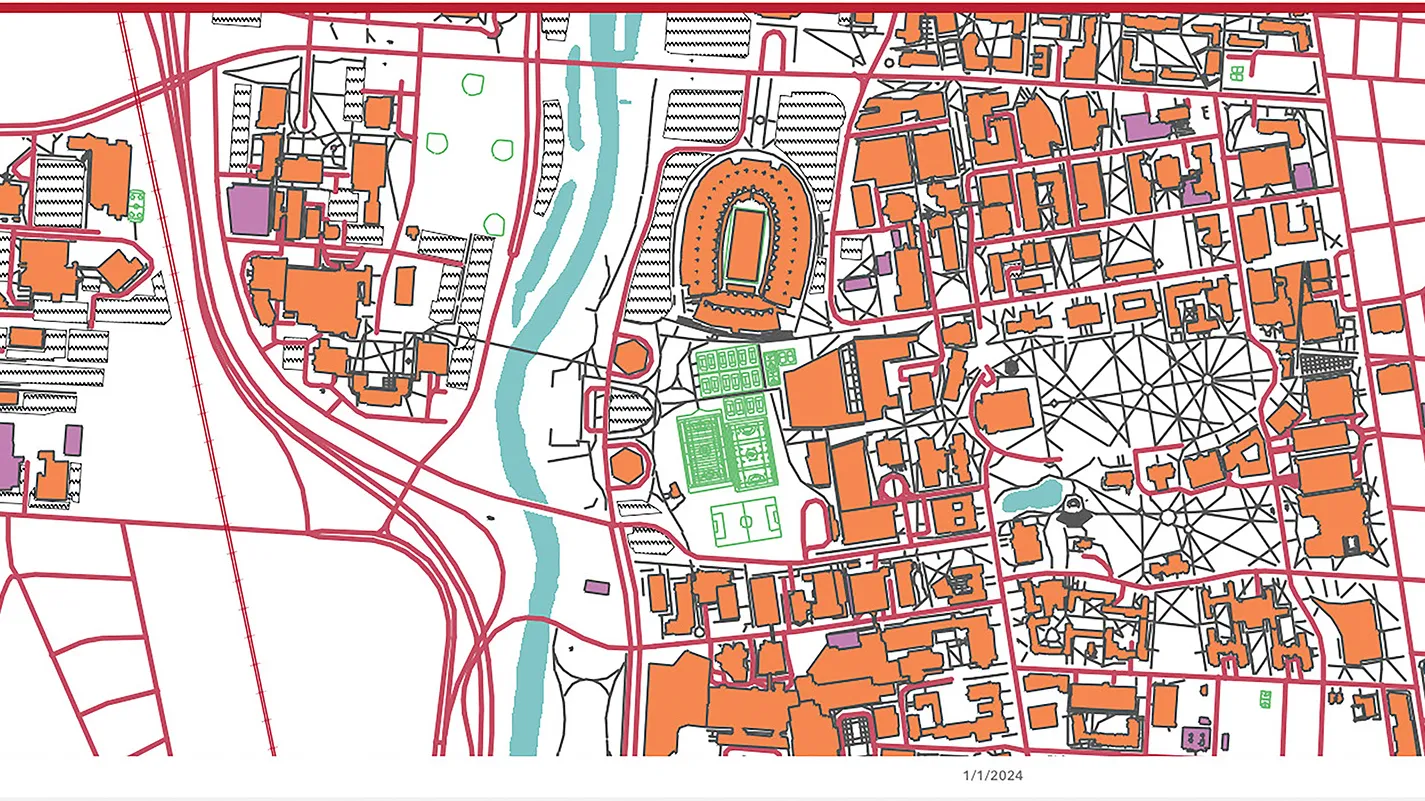
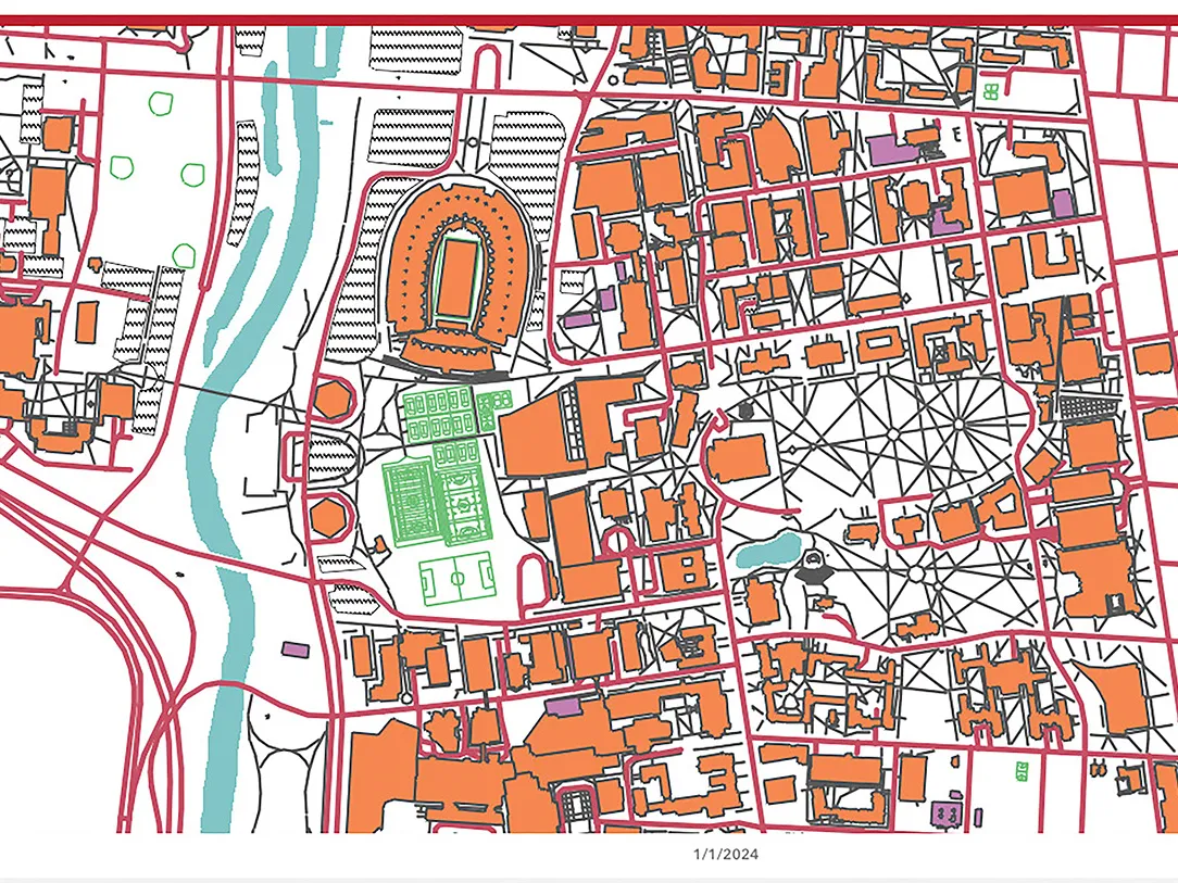
In just a few seconds, you can watch Ohio State’s Columbus campus transform from 1870 to today, expanding from a few scattered farm buildings to the present mini-city hosting nearly 60,000 students. To create this online map with its engrossing slider tool, all it took was thousands of hours of labor.

The man behind the map, Aaron Kidwell, is a senior geographic information system analyst in Facilities Information and Technology Services who helps handle mapping requests from departments around campus. Thanks to his hobby (or obsession?), he probably knows more about campus buildings than anyone else alive.
Using his interactive digital tool, visitors can now see how campus shifted as Ohio State’s needs changed from agricultural college to postwar campus crowded with former GIs to today’s modern land-grant university. Buildings pop up, change shape and sometimes disappear. Sidewalks and even railroad tracks come and go. A stream running across campus (roughly through the South Oval and along present-day John Herrick Drive) vanishes, a victim of city infrastructure improvements. Landmarks like the Oval take shape.
Time machine
Try Aaron Kidwell’s labor of love yourself to see how the Columbus campus has dramatically changed.
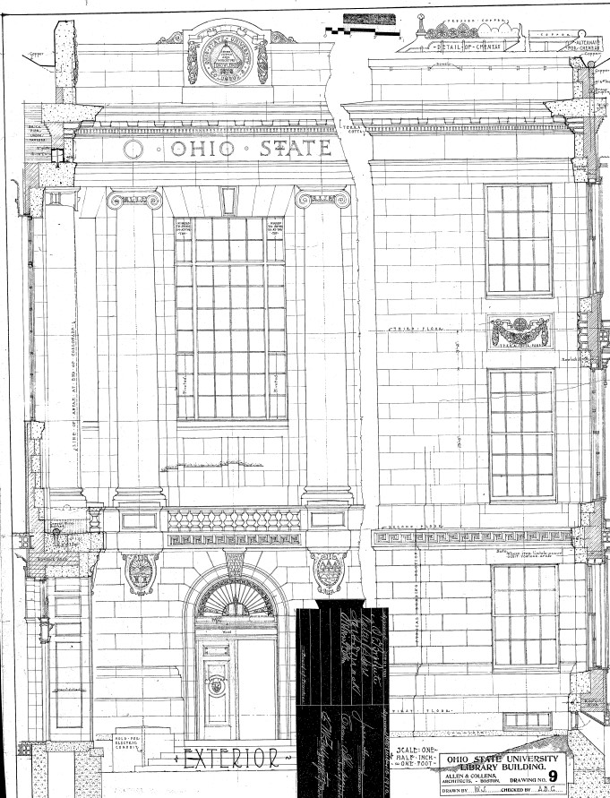
The map rewards those who take time to linger, click on buildings and scroll through Kidwell’s collections of photos, blueprints and old articles referencing the sites. Previously, getting this information would have required wading through reams of old meeting minutes, aerial surveys and many, many pages of archives. Kidwell has taken one for the team. “I’ve always loved maps,” he says. “I wanted to bring campus history to life.”
To do that, Kidwell relied extensively on the work of John H. Herrick ’28, ’36 MA, ’44 PhD, director of campus planning into the late 1960s. He had amassed information on most campus buildings and didn’t miss much, so Kidwell was pleased to discover a peanut stand outside Ohio Field that had escaped Herrick’s meticulous eye. For details like roads and sidewalks, Kidwell turned to Board of Trustees records, old maps and more.
It started out as a personal project during the pandemic. “I would sit in the basement from 10 o’clock at night till 4 in the morning sometimes going through these things,” Kidwell recalls. Eventually, he showed the map to his boss, who commissioned it as an official project. The rest, as they say, is history.
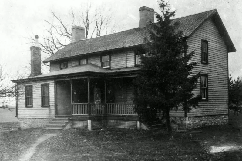
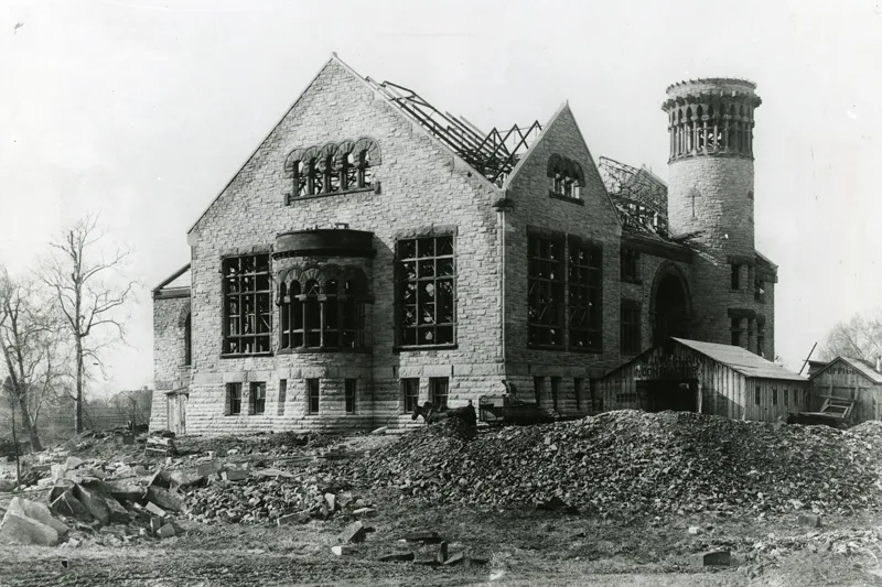
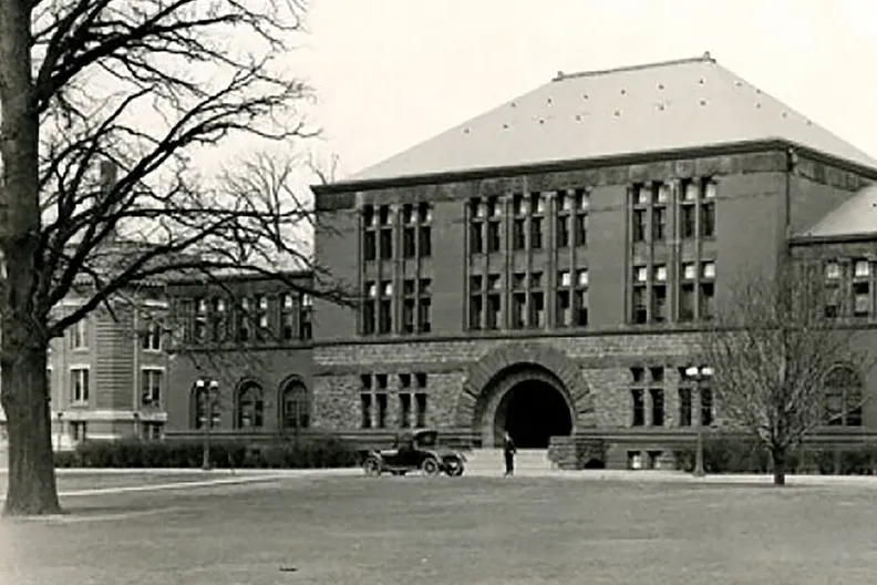
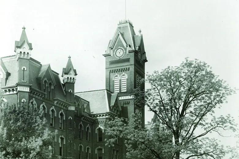
Some of the photos included with the map:
The following images scroll sideways.